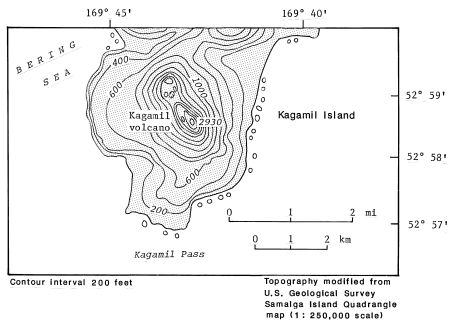
Topographic map of Kagamil.
Date: 2000
Volcano(es): Kagamil
Photographer: U.S. Geological Survey
URL: avo.alaska.edu/image/view/570
Topographic map modified from U.S. Geological Survey topographic maps.Volcano(es): Kagamil
Photographer: U.S. Geological Survey
URL: avo.alaska.edu/image/view/570
Please cite the U.S. Geological Survey when using this image.
Full Resolution.