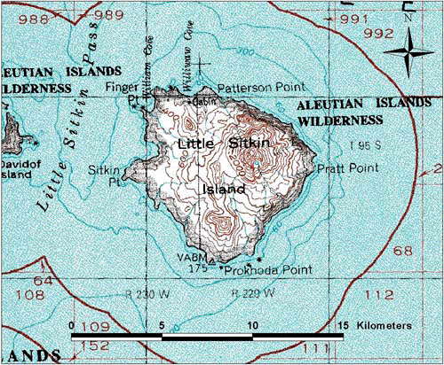
Topographic map of Little Sitkin Volcano.
Date: 2000
Volcano(es): Little Sitkin
Photographer: U.S. Geological Survey
URL: avo.alaska.edu/image/view/577
Topographic map created by the U.S. Geological Survey.Volcano(es): Little Sitkin
Photographer: U.S. Geological Survey
URL: avo.alaska.edu/image/view/577
Please cite the U.S. Geological Survey when using this image.
Full Resolution.