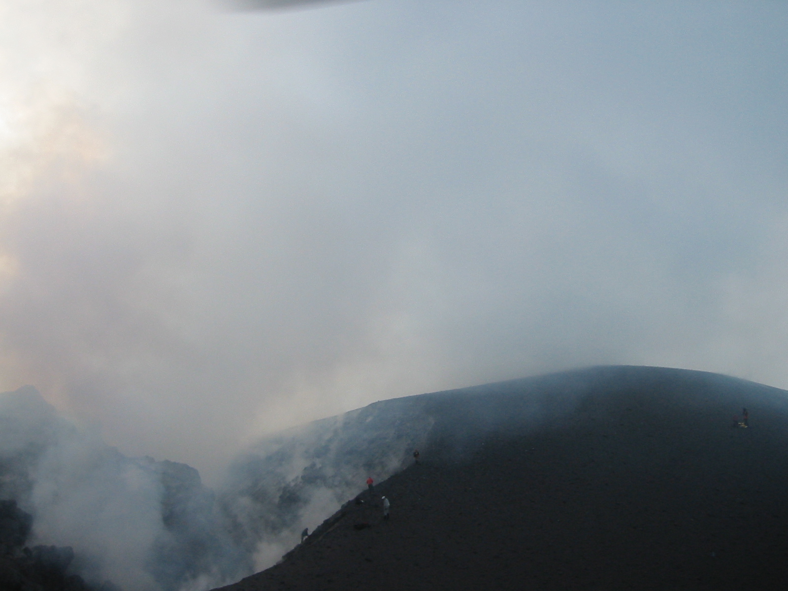
AVO geologists working at the new summit of Augustine. White cloud contains water vapor and sulfur gases.
Volcano(es): Augustine
Photographer: Cameron, C. E.
URL: avo.alaska.edu/image/view/10844
Credit: Image courtesy of the AVO/ADGGS.
Use Restriction: Please cite the photographer and the Alaska Volcano Observatory / Alaska Division of Geological & Geophysical Surveys when using this image.
Full Resolution.
Augustine 2005/12
From Power and others (2006): The 2006 eruption of Augustine consisted of four phases defined by the character of unrest or eruptive activity, which are described below. These phases are the precursory (May 2005 to 11 January 2006), the explosive (11 to 28 January), the continuous (28 January to 2 February), and the effusive (2 February to late March).
"The precursory phase began as a steady increase in microearthquakes beneath the volcano, ranging from one to two per day in May 2005 to 15 per day in mid-December [see Figure 3 in original text]. In July 2005, geodetic baselines began to lengthen, indicative of pressurization at sea level centered beneath the edifice (Cervelli and others, 2006). On 2 December 2005, seismometers began recording signals from small phreatic explosions; the largest signals occurred on 10, 12, and 15 December. An overflight on 12 December revealed vigorous steaming, a new vent on the summit's southeastern side, and a dusting of ash on the volcano's southern flanks. The ash was a mix of weathered and glassy particles; the latter appear to be remobilized 1986 tephra. An explosion on 15 December disabled the telemetery for the two highest seismic stations [see figure 2 in original text].
"Augustine then entered an explosive phase, which lasted from 11-28 January 2006. A strong swarm of volcano-tectonic (VT) earthquakes began at 0030 UTC on 11 January, culminating in explosive eruptions at 1344 and 1412 UTC. These explosions produced ash plumes, reported by the U.S. National Weather Service (NWS) to have reached heights greater than nine kilometers above sea level (asl), which moved slowly to the north and northeast. Ash sampled on 12 January was primarily dense or weathered fragments, suggesting little juvenile magma. Over the next 36 hours, several sequences of small, regularly spaced VT earthquakes, many with identical waveforms, occurred at rates as high as three to four per minute. Similar earthquakes, referred to as clones or drumbeats, have been associated at other volcanoes with the emplacement of lava domes (Dzurisin and others, 2005).
"Monitoring instruments also recorded six powerful explosions that occurred between 1324 UTC on 13 January and 0914 UTC on 14 January [see figure 3 in original text]. The first explosion destroyed the seismometer and CGPS high on the volcano's northeastern flank [see figure 2 in original text]. Plumes reached altitudes of 14 kilometers asl and deposited traces of ash on southern Kenai Peninsula communities. Ash from these eruptions was more heterogeneous and contained dense particles as well as fresh glass shards, indicating the eruption of new magma. Satellite imagery tracked these plumes as they moved eastward and disrupted commercial airline traffic to and from Alaska.
"A 16 January overflight revealed a small, new lava dome at the summit. An explosive eruption at 1658 UTC on 17 January sent ash to 13 kilometers asl that moved westward. The eruption left a 20- to 30-meter-diameter crater in the new dome and produced ballistic fields on the volcano's western flanks. Data transmission from the west flank CGPS station stopped coincident with this explosion [see figure 2 in original text]. Additionally, the eruptions of 13-17 January generated pumiceous pyroclastic flows, snow avalanches, and lahars that moved down the volcano's flanks [see figure 2 in original text].
"The volcano then entered a period of more continuous eruptive activity that began at 0534 UTC on 28 January and that lasted until 2 February. The phase began with four explosive eruptions that generated ash plumes to heights of nine kilometers asl [ see figure 3 in original text]. Ash moved southward and fell in trace amounts on Kodiak Island. These explosions generated substantial pumiceous pyroclastic, block, and ash flows that destroyed seismic and CGPS stations on the west and north flanks of the volcano [see figure 2 on original text]. Destruction of these seismometers compromised AVO's ability to assign reliable hypocentral depths to earthquakes.
"Data from the remaining CGPS stations indicated that the volcano reversed its long inflationary trend (during which accumulating magma caused a swelling of the volcano's surface) and began a sharp deflation that continued until 10 February [see figure 3 in original text]. Modeling suggests the locus of deflation, which results from the removal of magma, was much deeper (~10 kilometers) than the precursory signal. On 29 January, the seismic network began to detect numerous block and ash flows - generated by small failures of the growing lava dome - cascading down the volcanos northern flanks [see figure 2 in original text].
"Augustine then entered an effusive phase, which lasted through late March. From 2 February through 6 March, block and ash flow signals continued to dominate the seismic record. Geodetic data showed inflation from 10 February until 1 March, when the volcano again reversed and entered an 11-day period of deflation [see figure 3 in original text]. On 7 March, seismic activity again shifted to small, mostly identical repetitious earthquakes. These events increased in rate and size, forming a continuous signal early on 8 March that lasted until 14 March. They then began a slow decline and disappeared by 16 March. Lava extrusion at the summit increased markedly in association with these repetitive earthquakes, and two blocky lava flows moved down the north and northeastern flanks [see figures 1 and 2 in original text]. Observations indicate that the effusion of lava stopped in late March. The volcano entered a final period of inflation between 12 and 31 March. The estimated volume of effusively erupted material is currently 30 million cubic meters."
McGimsey and others (2011) report that throughout 2007, continued cooling from the 2005-2006 eruption, steam plumes, and anomalous seismicity were observed at Augustine.