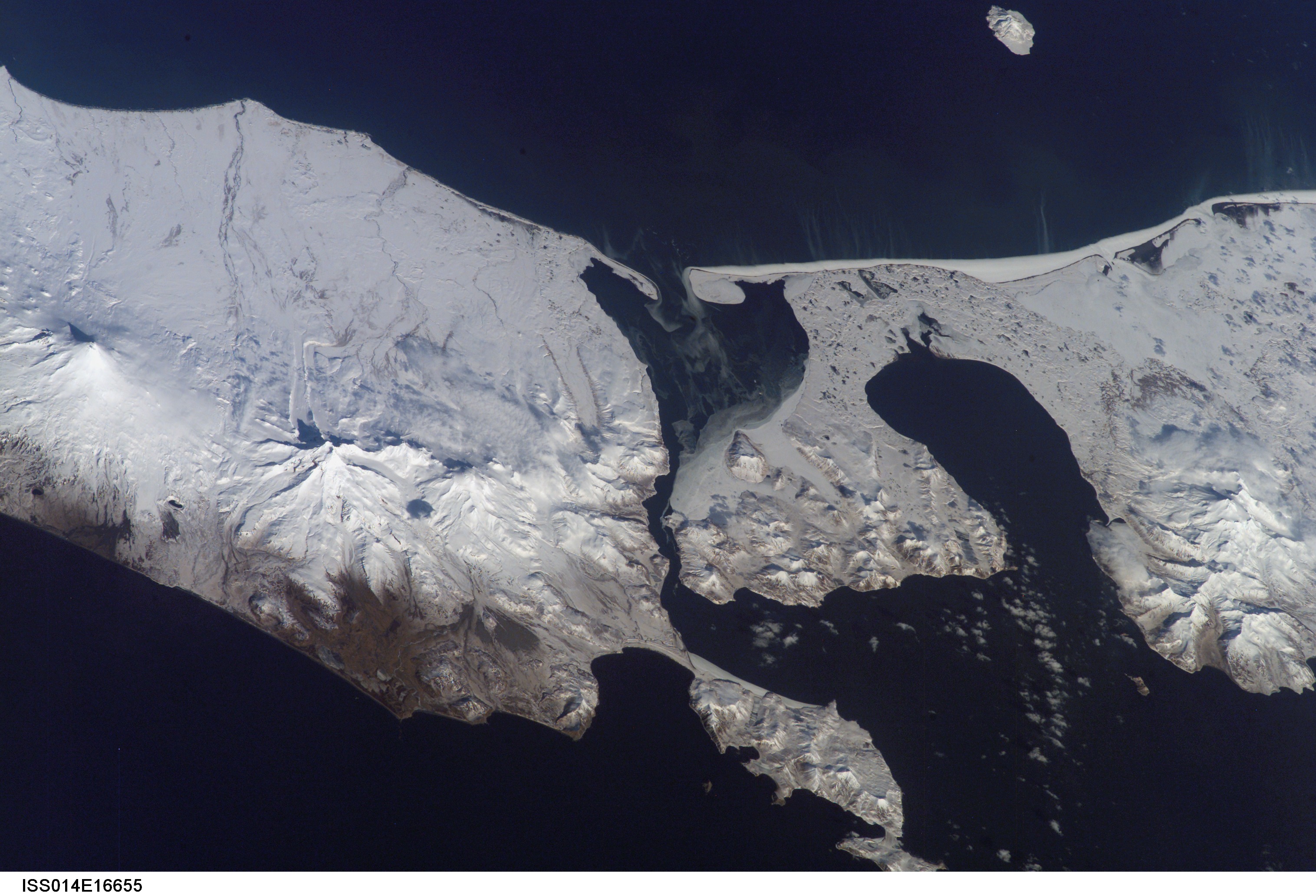
The western tip of the Alaska Peninsula, and the eastern end of Unimak Island as viewed from space. Frosty is visible in the left (eastern) side of the image, Amak is the small island to the north, and Roundtop, Isanotski, and Shishaldin are visible on Unimak Island. This photograph is mission ISS014, Roll E, Frame 16655 from Image Science and Analysis Laboratory, NASA-Johnson Space Center. "The Gateway to Astronaut Photography of Earth." and is available at http://eol.jsc.nasa.gov/scripts/sseop/photo.pl?mission=ISS014&roll=E&frame=16655
Date: Mar 12th, 2007
Volcano(es): Amak Frosty Morzhovoi
Photographer: Image Science and Analysis Laboratory NASA-Johnson Space Center
URL: avo.alaska.edu/image/view/13941
Credit: Image courtesy of the Image Science and Analysis Laboratory, NASA-Johnson Space Center, \"The Gateway to Astronaut Photography of Earth.\"
Use Restriction: Please cite the Image Science and Analysis Laboratory, NASA-Johnson Space Center, \"The Gateway to Astronaut Photography of Earth.\"
Full Resolution.