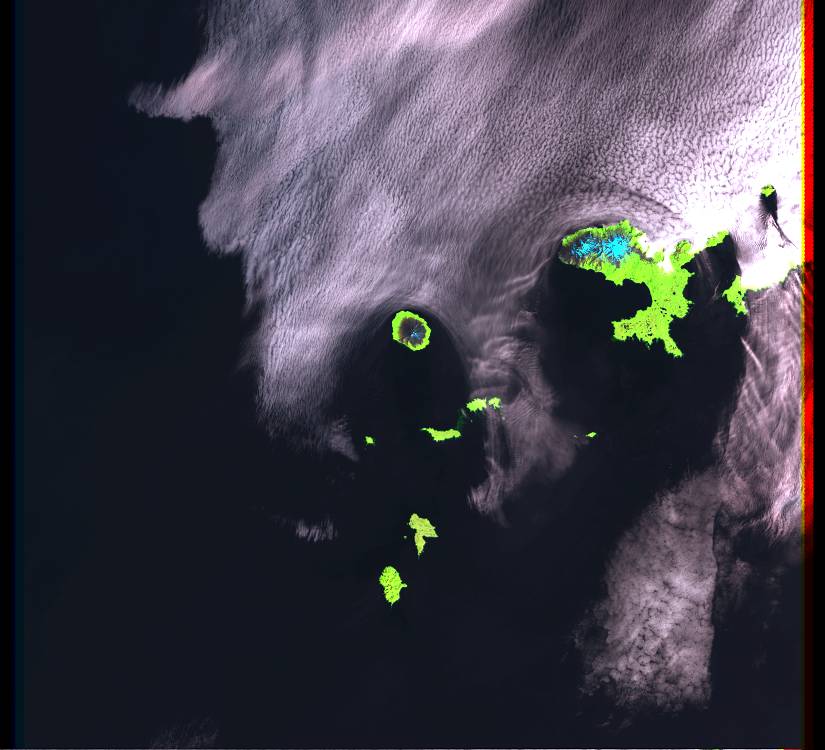
Landsat 7 ETM+ image showing Tanaga and Takawangha volcanoes on the "fish-shaped" island. Gareloi Volcano is the round island on the left.
Date: 2001
Volcano(es): Gareloi Takawangha Tanaga
Photographer: Landsat 7 ETM+
URL: avo.alaska.edu/image/view/286
Credit: Image from the the MRLC Consortium of 2001 Landsat 7 ETM+ imagery.
Use Restriction: Please see the MRLC Consortium website(http://www.mrlc.gov/download_data.asp) for use restrictions.
Full Resolution.