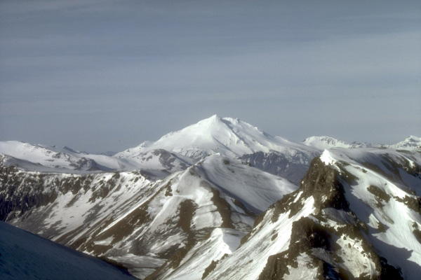
Mount Dutton, a 1,506-m (4,941 ft)-high stratovolcano, lies 14 km (9 mi) north of the community of King Cove on the Alaska Peninsula. The summit of Mount Dutton is composed of a cluster of lava domes. Mount Dutton has had no historical eruptions. However, seismic swarms beneath the volcano were recorded in 1984 to 1985 and again in 1989. View is to the southwest. Photograph by M.E. Yount, U.S. Geological Survey, July, 1986.
Date: July 1986
Volcano(es): Dutton
Photographer: Yount, M. E.
URL: avo.alaska.edu/image/view/470
Credit: Image courtesy of AVO / U.S. Geological Survey.
Use Restriction: Please cite the photographer and the Alaska Volcano Observatory/U.S. Geological Survey when using this image.
Full Resolution.
Volcano(es): Dutton
Photographer: Yount, M. E.
URL: avo.alaska.edu/image/view/470
Credit: Image courtesy of AVO / U.S. Geological Survey.
Use Restriction: Please cite the photographer and the Alaska Volcano Observatory/U.S. Geological Survey when using this image.
Full Resolution.