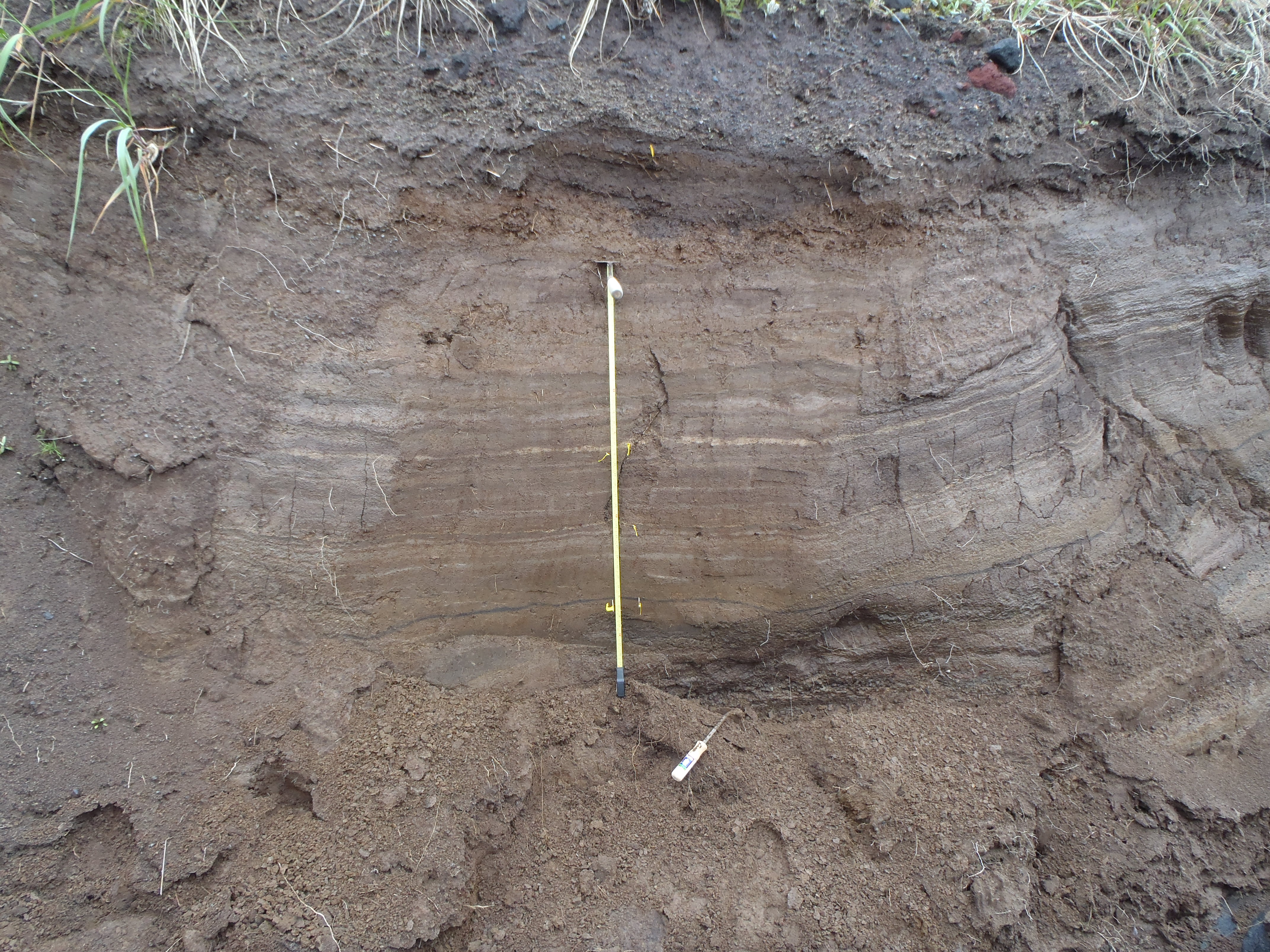
Part of a ~6 m (20 feet) thick section of ash and lapilli falls from Cleveland and nearby volcanoes, exposed in a gully on the southeast flank of the volcano. We will be analyzing some of the ashes and soils from this section to begin to understand eruption frequency in the Islands of Four Mountains. Measuring tape is 1 m 3.3 feet) long. Photo taken during the 2014 field season of the Islands of Four Mountains multidisciplinary project, work funded by the National Science Foundation, the USGS/AVO, and the Keck Geology Consortium.
Date: Aug 15th, 2014
Volcano(es): Carlisle Churchill, Mt Herbert Tanax̂ Angunax̂
Photographer: Neal, C. A.
URL: avo.alaska.edu/image/view/67161
Credit: Image courtesy of AVO/USGS.
Use Restriction: Please cite the photographer and the Alaska Volcano Observatory / U.S. Geological Survey when using this image. Photo taken during the 2014 field season of the Islands of Four Mountains multidisciplinary project, work funded by the National Science Foundation, the USGS/AVO, and the Keck Geology Consortium.
Full Resolution.