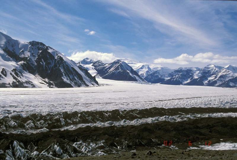
View west from the Klutlan Glacier of the rim of Churchill caldera (between clouds on horizon). This location is about 25 km down glacier from the rim. The terrain is exceptionally rugged. Mt. Churchill is the source of the White River Ash (63 CE--north lobe; and 846-847 CE--east lobe).
Date: Jun 12th, 2002
Volcano(es): Churchill, Mt
Photographer: McGimsey, R. G.
URL: avo.alaska.edu/image/view/78551
Credit: Image courtesy of AVO/USGS.
Use Restriction: Please cite the photographer and the Alaska Volcano Observatory / U.S. Geological Survey when using this image.
Full Resolution.
Volcano(es): Churchill, Mt
Photographer: McGimsey, R. G.
URL: avo.alaska.edu/image/view/78551
Credit: Image courtesy of AVO/USGS.
Use Restriction: Please cite the photographer and the Alaska Volcano Observatory / U.S. Geological Survey when using this image.
Full Resolution.