


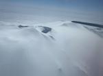
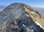
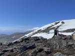
Takawangha
Takawangha Eruption Timeline
| Red (Warning) | |
| Orange (Watch) | |
| Yellow (Advisory) | |
| Green (Normal) | |
| Uninstrumented | |
| Community | |
| Webcam | |
| Instrument | |
| Earthquake Magnitude | |
|
0
| |
| Earthquake Age | |
| Last 2 Hours | |
| Last 2 Days | |
| Last 1 Week | |
Distance from Anchorage: 1237 mi (1990 km)
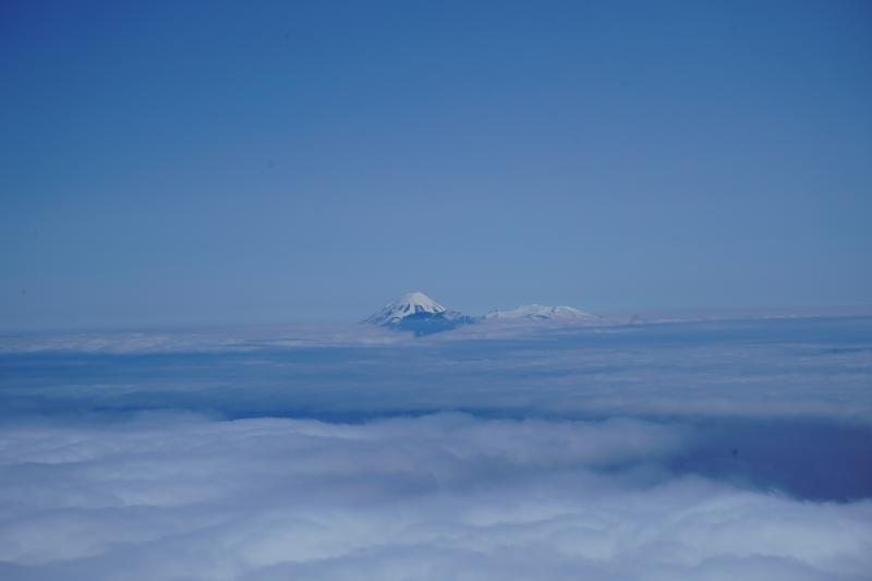
Takawangha is an alternate name for Tanaga Island, and unofficially used to describe the youthful volcano on northern Tanaga Island, east from Tanaga Volcano.
Takawangha Eruption Timeline

On January 24, 2017, citing an energetic earthquake swarm, AVO raised the Aviation Color Code and Volcano Alert Level at Takawangha from UNASSIGNED to YELLOW/ADVISORY. The earthquake swarm began January 23. The earthquakes located 6-7 km ESE of Takawangha Voclano. This activity could have been due to brittle failure in the surrounding rock caused by magma movement. No eruptive activity was detected in satellite imagery or other data.
Following a significant decline in the energetic earthquake swarm, with seismicity returning to near background levels, AVO lowered the Aviation Color Code to GREEN and Alert Level to NORMAL for Takawangha volcano on February 8, 2017.
On November 18, 2022, AVO raised the Aviation Color Code and Volcano Alert Level at Takawangha to YELLOW/ADIVSORY, citing "The number of small earthquakes detected near Takawangha volcano has increased over the past few days and has intensified over the past 24 hours. The earthquakes, the largest with magnitudes between 2 and 3, have preliminary depths of about 2 to 4 miles (3 to 6 km) below sea level. This activity may be due to the movement of magma beneath the volcano." This seismicity marks a departure from background activity."
On March 9, 2023, AVO raised Takawangha to ORANGE/wATCH, stating "Over the past 48 hours, earthquake activity near Takawangha volcano has been elevated and continues. This sustained activity indicates an increased potential for eruption at the volcano. Therefore AVO is raising the Aviation Color Code to ORANGE and the Volcano Alert Level to WATCH. Seismic activity is also elevated at Tanaga Volcano, which is about 8 km (5 mi) west of Takawangha on Tanaga Island. If an eruption were to occur, it is uncertain at this stage if it would come from Takawangha or Tanaga."

| Eruption | |
| Questionable eruption | |
| Non-eruptive activity |


Mathematical models developed by the USGS forecast various aspects of how a volcanic ash plume will interact with wind—where, how high, and how fast ash particles will be transported in the atmosphere, as well as where ash will fall out and accumulate on the ground. AVO runs these models when a volcano is restless by assuming a reasonable hypothetical eruption, to provide a pre-eruptive forecast of areas likely to be affected. During an ongoing eruption, AVO will update the forecast with actual observations (eruption start time and duration, plume height) as they become available.
The Ash3d model was developed by the USGS to forecast how a volcanic ash plume will interact with wind and where ash will fall out and accumulate on the ground. AVO runs these models twice daily when a volcano is restless by assuming a reasonable hypothetical eruption altitude and duration. The map shows the model results of ashfall thickness for areas that are likely to be affected, if one were to occur. During an ongoing eruption, AVO will update the forecast with actual observations (eruption start time and duration, plume height) as they become available, and these plots will be automatically updated. The National Weather Service Anchorage Forecast Office will issue the official ashfall warning product and post them at weather.gov/afc
THESE PRODUCTS MAY NOT BE CURRENT.During an actual eruption, see National Weather Service forecasts of ashfall:https://weather.gov/afc.
This map shows the modeled estimate of the time it would take for ashfall to begin following an eruption. It corresponds to the ashfall thickness forecast map shown above. This map uses the start time of either the twice-daily hypothetical model runs (time shown in the legend) or the actual eruption start time (if one were to occur). In the case of an actual eruption, the National Weather Service Anchorage Forecast Office will issue the official ashfall warning product that includes the ashfall start time and post them at weather.gov/afc
THESE PRODUCTS MAY NOT BE CURRENT.During an actual eruption, see National Weather Service forecasts of ashfall:https://weather.gov/afc.